


 Reply With Quote
I always wondered how that trail would work exactly. It looks like on the map that it would link up with the original gondi liftline. I haven't hiked over in that area, but it certainly looks like cliffs and narrowness. I can only assume the trail would run along the "front" (main mountain) side of the ridge until at least the mid station.
There is an actual trail map that I have seen with a trail going right off of foxlair towards topridge/sunway. I think it is on the backside of the big trailmap at the base or maybe one of the big ones up on the moutain somewhere. The trail name started with a C. Anyone seen the same thing? They must have been very close to building a trail if it was on a map. It would have been before Ruby so maybe they were thinking of putting in the green off of foxy?
Results 31 to 40 of 50
Thread: Mountain Stats anyone?
-
07-20-2010, 06:06 AM #31


- Join Date
- Apr 2006
- Location
- North River
- Posts
- 1,251
I think I know this document. For some reason I can never download it.
We talked about this two summers ago:
http://www.nyskiblog.com/2009/09/gore-plan.html
I'm going to ask some questions.Harvey Road: NYSkiBlog.com
-
07-20-2010, 09:13 AM #32

- Join Date
- Mar 2007
- Posts
- 153
-
07-20-2010, 09:27 AM #33
- Join Date
- Apr 2006
- Location
- North River
- Posts
- 1,251
Danzilla ... I think the original plan for Foxlair was to run it straight to Sunway. (It may have been named "Sagamore?") Originally Posted by Danzilla
The cost was too much. so they put the lefthand turn in Foxlair. It seems like that is what lead to Ruby Run. An easier way down from the Gondi.
I asked Mike about the purple trail, he was brief:
"It is permitted."
I interpret this to mean he believe construction would happen someday, but it is not currently planned.Harvey Road: NYSkiBlog.com
-
07-20-2010, 11:40 AM #34
- Join Date
- Oct 2008
- Location
- AIR BORNE
- Posts
- 1,175
If Foxlair had gone straight it would have to descend those very sizable cliffs. The map Fuj noted shows the work road that ascends to ORG's midstation from Sunway. My guess is the " purple trail " was to no benefit as it would have left skiers on lower Tannery, before the Topridge triple existed. A MTN bike trail map recently released by Gore shows an existing, open bike trail down that valley to Tannery.
Several years before Ruby run opened, I used to run into a group of men on the hill who were upset about Foxlair as it gets hazardous at day's end.
They were all " We gotta do something about this. Someone's gonna get killed. You call the Senator, I'll call so & so, We'll get this BS fixed." They used terms like " bodybags " and noted the many injuries on Foxlair that weekend. When Gore added a netting wall outside of the right edge of FL and attempted to widen it by building it out with snow, these guys were upset again. " This is BS. They were supposed to build another trail down. Let's go down and call right now " blah blah blah.
Lo and behold, Ruby Run materialized. Don't know for sure how much a part this group of men played. They seemed like the kind of men who were used to getting things accomplished, using their influence to cut through the BS and making people do what needs to be done.
" This is what you're going to do and this is how you're going to do it. Any questions? "
My kinda of guys.incoming .................DUCK !
-
07-20-2010, 02:48 PM #35

- Join Date
- Jan 2009
- Location
- Bergen County, NJ
- Posts
- 73
I think Sagamore was supposed to be a green trail. When they realized the expense it was scrapped and we got the narrower version of today's Foxlair. Foxlair was a disaster. Between the rock wall on the skier's left and the cliff on the right combined with a huge open view most lower int and green skiers were intimidated. Throw in the huge traffic it handled and the thing was a scraped off sheet of ice by noon. How do you put in a gondola without providing a green trail that almost everybody can handle? Most skiers could ride the old gondola and make their way down Cloud to the Saddle Lodge. Now these same blue and green skiers (and boarders) were afraid to ride the Gondola. It took almost 10 years to get the green trail Ruby Run when it should have been the first trail cut.
The other uncut trails on the map might never be cut due to Gore's 40 mile limit in the NYS constitution. Does anybody know how glades are counted? Maybe they are not counted at all towards the total. If this is the case they should officially glade the entire lower mountain.
-
07-20-2010, 04:38 PM #36
- Join Date
- Apr 2006
- Location
- North River
- Posts
- 1,251
I didn't realize Foxlair was widened. I mean I knew I was less scared, but I attributed it to a big jump in my skillz. Originally Posted by x10003q

I'm 99% sure the glades don't go against the limit. The way I understood Mike, the stuff in purple uses up the last of the 40 miles.Harvey Road: NYSkiBlog.com
-
07-20-2010, 06:09 PM #37
- Join Date
- Oct 2006
- Location
- Saratoga Springs, ny
- Posts
- 242
As far as I'm aware, it doesn't. Nor do liftlines. Originally Posted by x10003q
Glading the entire lower mountain would be awesome, but the way it doesn't all funnel into one place and snowmaking pipes make that a big issue. I think insurance has a huge part to do with it as well.send it!
-
07-20-2010, 07:29 PM #38
- Join Date
- Nov 2008
- Location
- North Creek
- Posts
- 221
They just talked to Bean Dip. Originally Posted by Snowballs
Say what you will about the guy, but he has very sensitive antennae and is always way ahead of the curve when it comes to fixing and anticipating safety concerns.The sea was angry that day my friends, like an old man trying to send back soup at a deli
-
07-20-2010, 09:57 PM #39
- Join Date
- Oct 2008
- Location
- Baltimore, Md
- Posts
- 222
I enjoy the Top Ridge lift...very relaxing, not couded. Just what the thighs and hams need after 5-6 runs down Rumor. Seeing a finished run off to the right would "finish" this area and make it look official rather than an after thought. THis is a big long lift for just a few runs, down one side. That aways seems odd.
This run was discussed two years back...love to see it happen. Someday.
Looking for a nice hike? Base of top ridge down to Peaceful Valley. I have hiked the from the bottom up 2/3s, had to turn around to get back on kid watch. Absolutely one of the nicer stream hikes--which I love. Big slides, overhanging trees, small falls, holes etc. Two things to look for:
SEIS markers....Saw about 4...testing zones for water quality? They were newly flagged.
About 1/3 up from PV road--a cable runs across the river. Looks to be about 60 yrs old. I wonder who carried all the wood and cable up there. What it was for etc. Seems to be an old cable bridge.....but why? History?
-
07-29-2010, 06:11 PM #40
- Join Date
- Dec 2006
- Posts
- 161
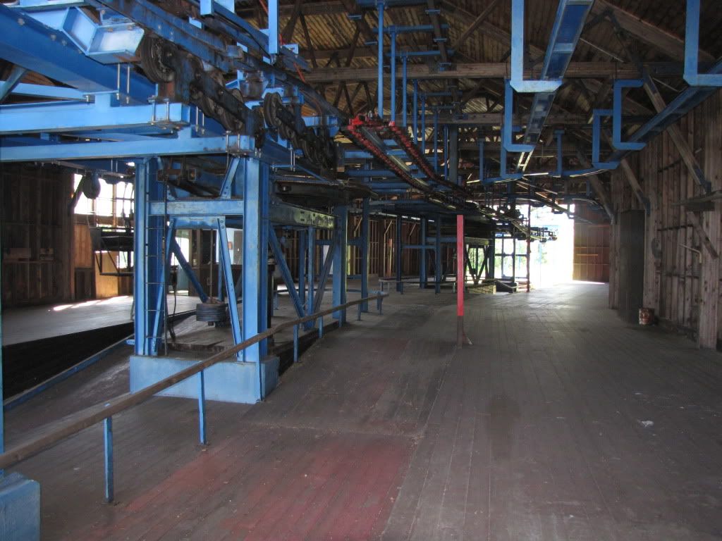
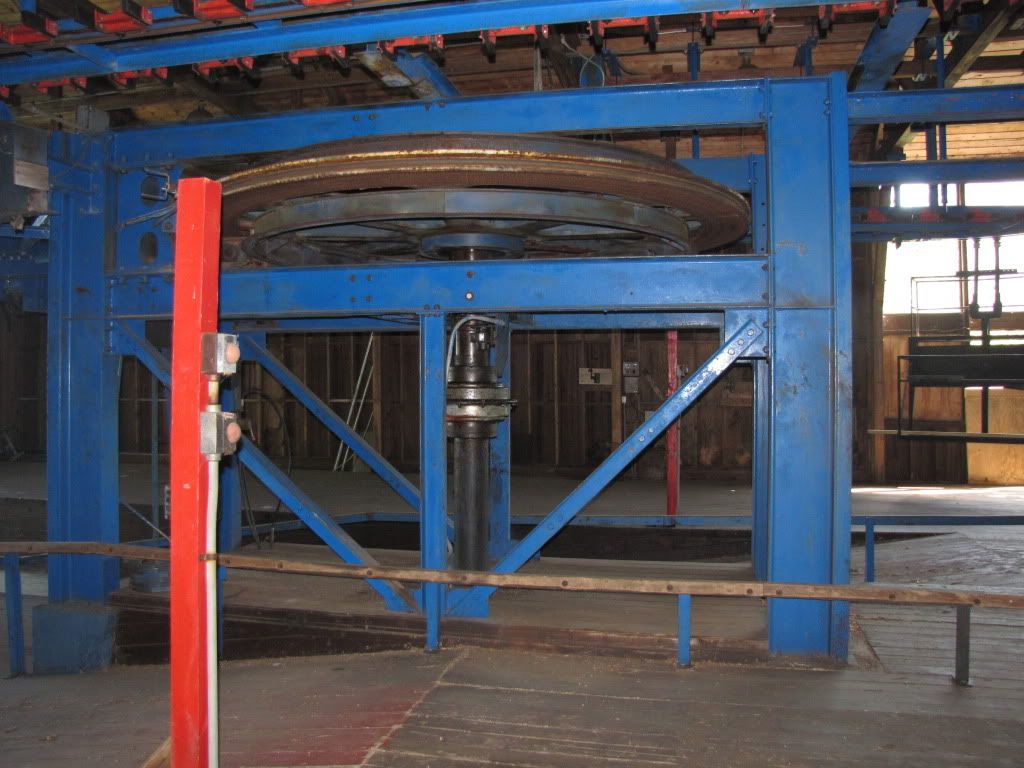
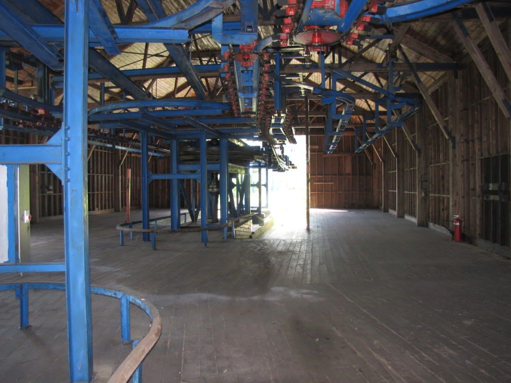
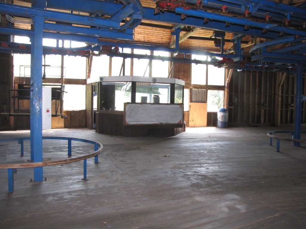
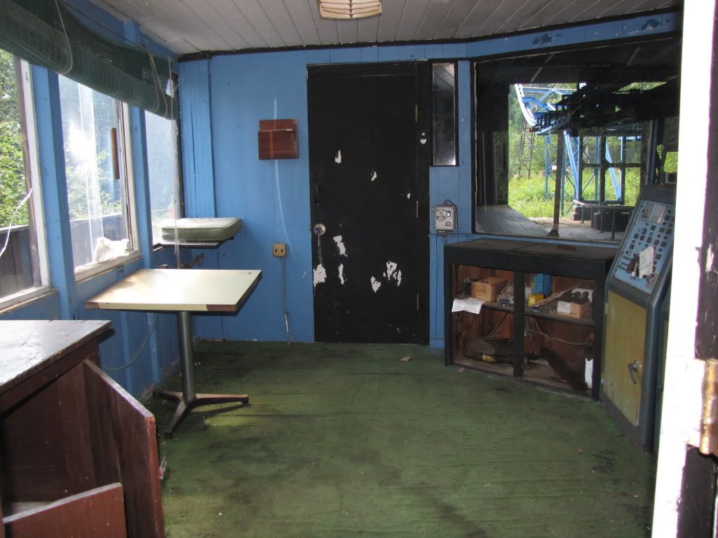
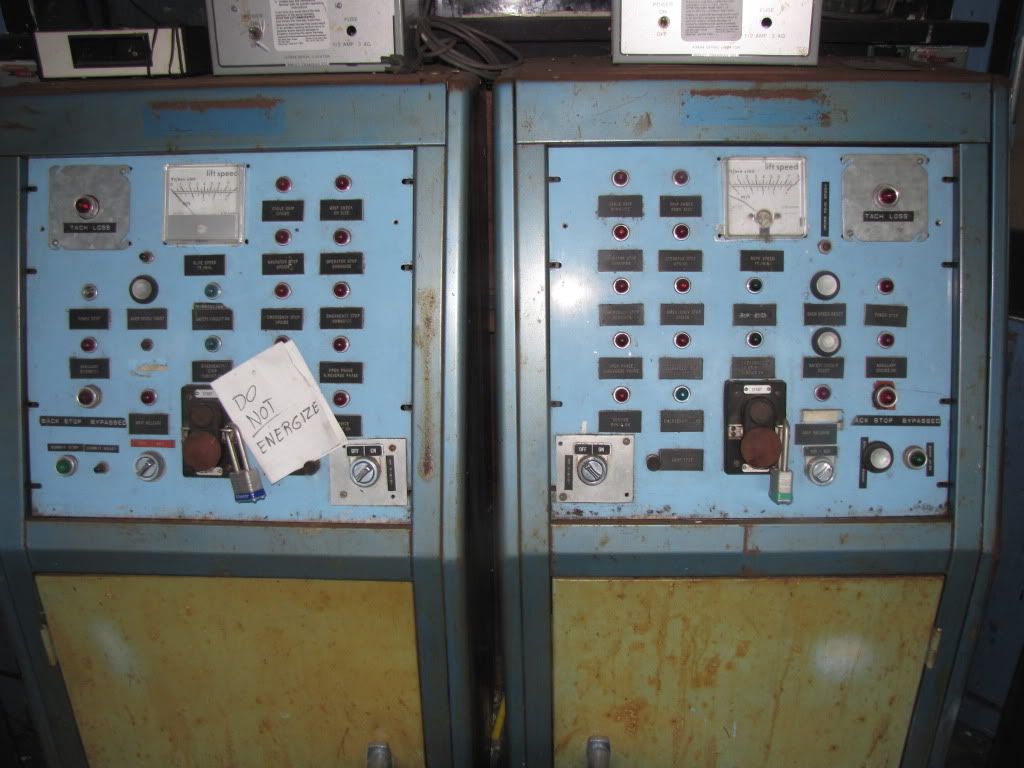
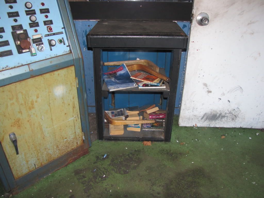
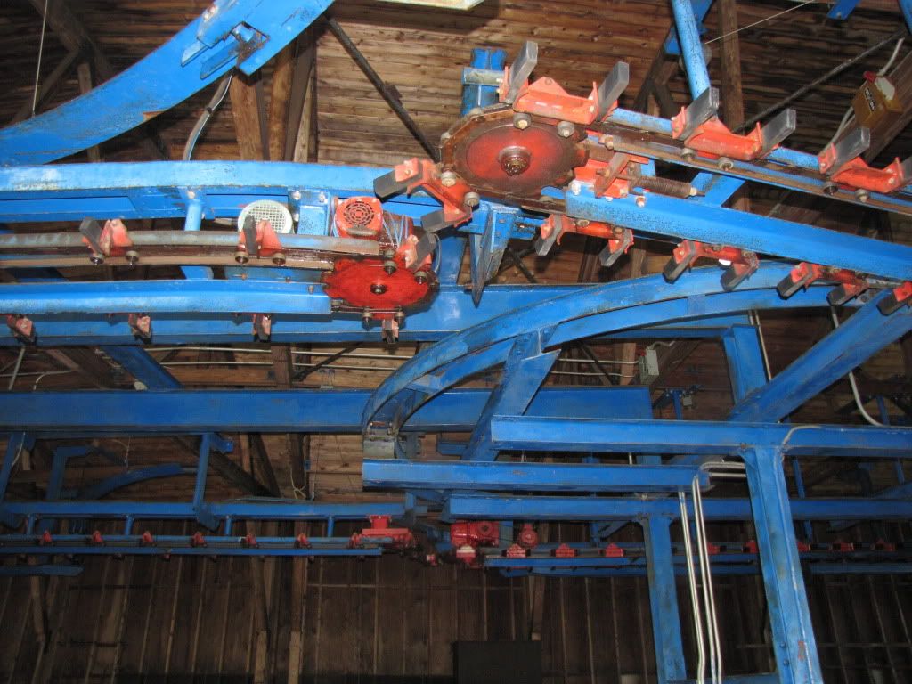
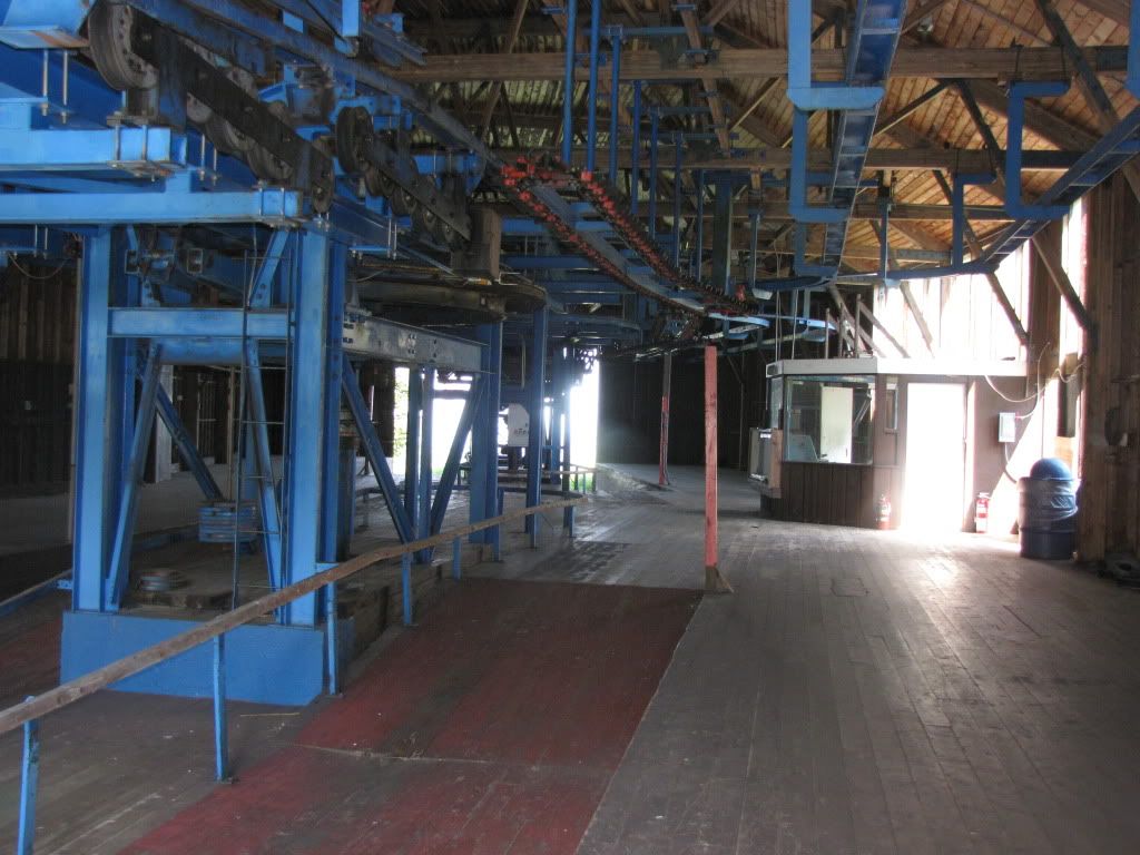
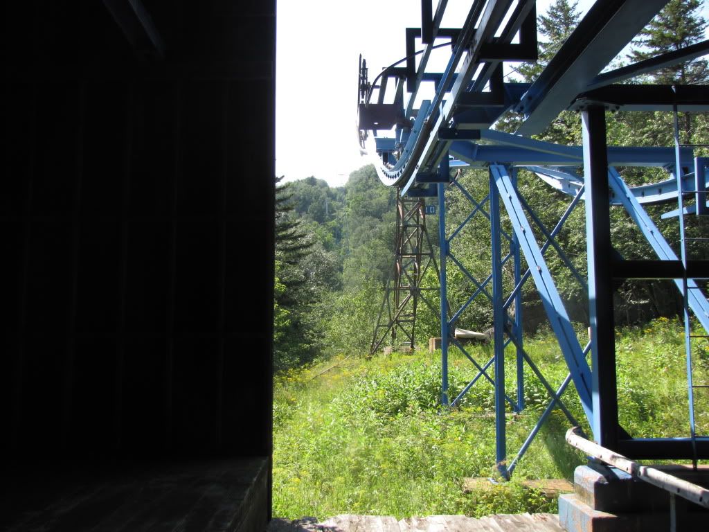
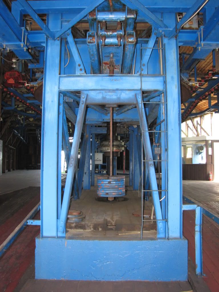
PICTURES...lots of them
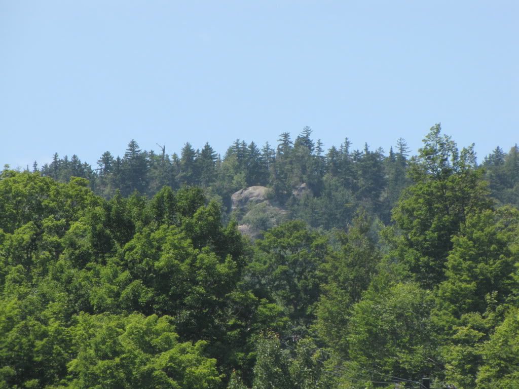
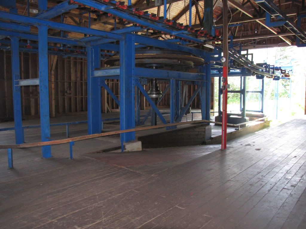
to start, ever go up the access road and see a rock that sticks out to the right of the midstation, well i went and found that.
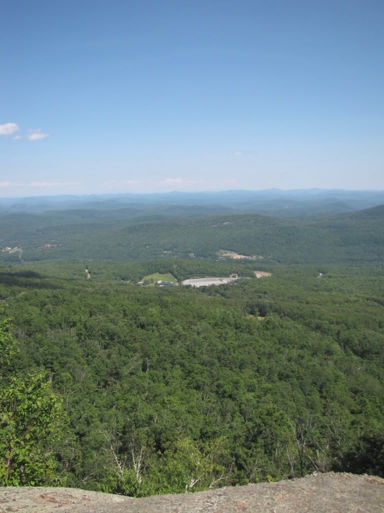
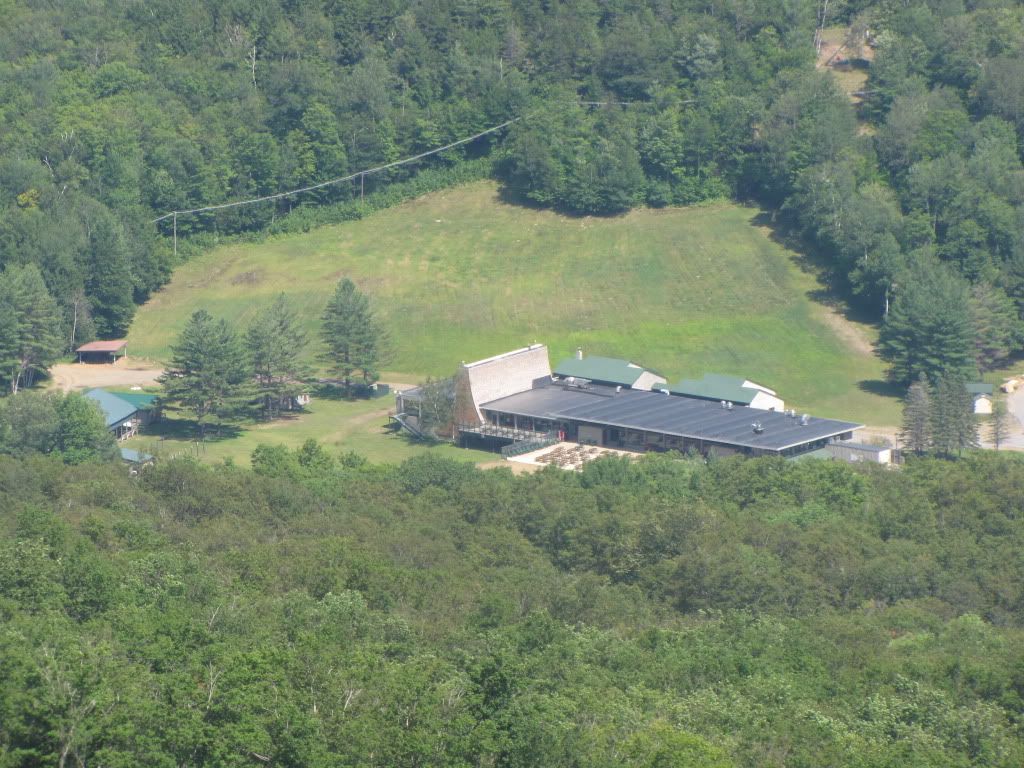
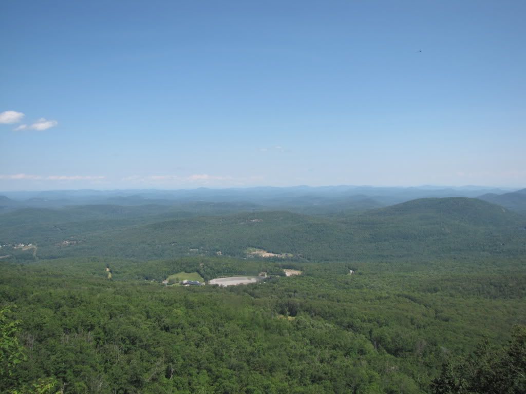
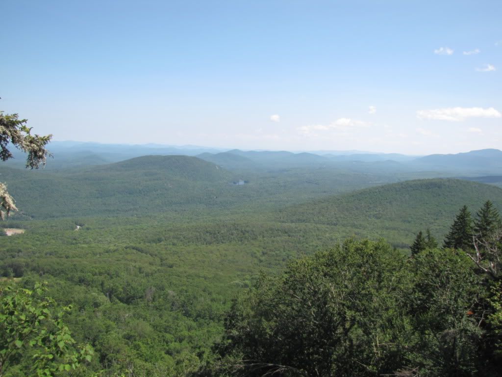
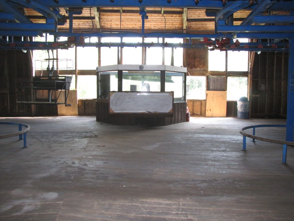
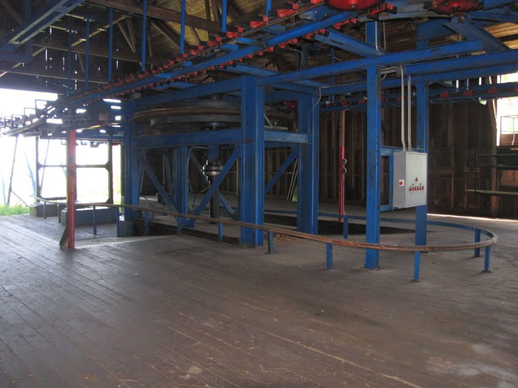
then made my way to the midstation...
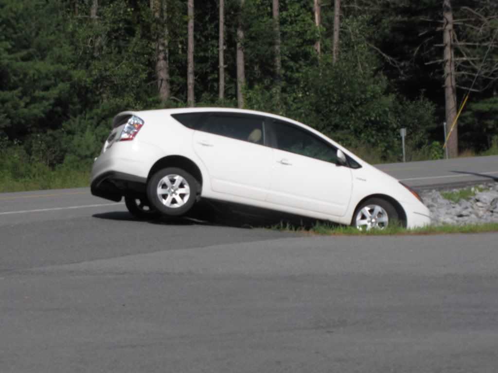
and i passed this on the way home... she apparently was looking at a map on a dead straight road and freaked, drove into the ditch. car had practically no front end damage so she had to have been going under 10mph.
 its not your altitude, but your attitude that will determine you altitude.


